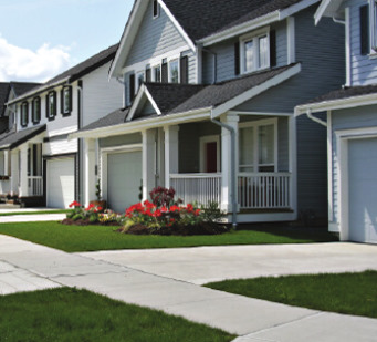
landproDATA Helps Contractors & Subcontractors
-
Better, Faster Bids
- Access all the parcel data and property info you need in one place – anywhere, anytime.
- Generate a complete Parcel Information Book from your office to help create estimates quicker.
- Utilize aerial maps to measure and calculate project costs and materials.
- Enhance bids, plans, and presentations with maps and comprehensive data that provide context and clarity.
-
Improve Work Efficiency
- Print HOA common areas for work crews.
- Utilize simple tools to view plat maps, nearest intersection, adjacent properties, entry roads, and more.
- Reduce number of site visits by measuring areas (buildings, vegetation, parcels, roofing, backyards, etc.) through our maps feature instead of on foot.
- Identify obstacles such as access gates, landscaping, fences, and adjacent property restrictions to determine equipment needs prior to site visit.
-
See Growth Opportunities
- Get alerted to ownership change data, as well as commercial and residential developments submissions.
- Review building permits anywhere, anytime to gain a competitive edge.
- Research and prospect business opportunities and identify direct points-of-contact.
- Get more jobs! Research potential clients using specific and searchable property features data.
- STAGE 1
- STAGE 2
- STAGE 3
- STAGE 4
- STAGE 5
- STAGE 6
Our Data
Our database includes extensive data for many of Idaho's counties and parcel data for all 44 counties.
Select a county to display statistics.
| Data Type | Features | Documents | Date Updated |
|---|---|---|---|
| - | - | - | - |