Attorneys
When it comes to commercial and residential real estate development, attorneys are involved every step of the way. landproDATA will help you be more knowledgeable in less time, allowing you to provide the most successful legal representation for clients.
landproDATA Helps Attorneys
-
Discover More, Faster
- Use one site to compile documentation from various municipalities and jurisdictions.
- Gather all parcel data needed, including ownership info, assessments, permits, zoning, and flood plain – anywhere, anytime.
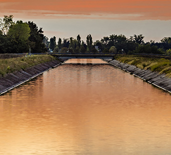
- Access boundary info, traffic data, environmental information, water rights, future land use data, and more.
-
Virtually Tour Sites
- Maximize your time by viewing property remotely via Google Earth™ maps and aerial images.
- Customize maps with layers of essential data, like plat configuration, water courses, obstructions, and boundaries, to provide context and clarity to clients.
- View landscape and infrastructure change information.
-
Enhance Client Service
- Create strong plans and presentations that provide context and communicate clearly.
- Export dynamic aerial property views to add clarification to reports.
- Impress clients with faster resolutions and less time billed for data collection.
- STAGE 1
- STAGE 2
- STAGE 3
- STAGE 4
- STAGE 5
- STAGE 6
Our Data
Our database includes extensive data for many of Idaho's counties and parcel data for all 44 counties.
Select a county to display statistics.
| Data Type | Features | Documents | Date Updated |
|---|---|---|---|
| - | - | - | - |