Appraisers
Determining accurate appraisals of land value is, in a word, invaluable. It requires unbiased integrity and a solution like landproDATA to provide access to the most comprehensive, accurate data in the market.
landproDATA Helps Appraisers
-
Simplify Data Gathering
- Save time by gathering comprehensive parcel data, including zoning, new developments, and assessments all in one place – anywhere, anytime.
- Compile from various municipalities and jurisdictions at the same time.
- Generate a neatly organized, custom Property Info Book in one click that contains the data you need to start an appraisal without leaving your office.
- Use our Search Comps tool to compare all properties with similar characteristics and owner changes, all within specific radiuses and timeframes.
-
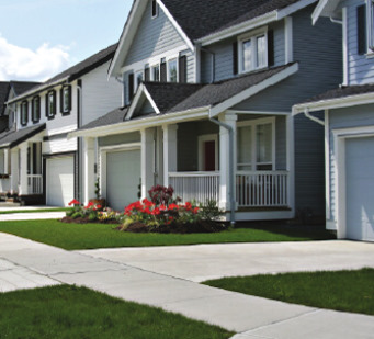
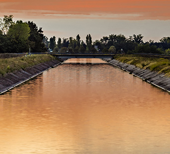
Visualize Parcels
- Initiate inspection, measurements, and needs assessments remotely.
- Compare current and historical Google Earth™ imagery for comparative analysis.
- View surrounding areas with the data layers you need, such as property boundaries, waterways, ditches, zoning, and access points.
- Utilize aerial imagery to view terrain and plan for the equipment and resources needed.
- Rely on our data and maps to view new developments, surrounding areas, and other property features that affect valuation.
-
Prospect Opportunities
- Access the latest news on upcoming subdivisions, developments, and marketing trends.
- Get alerted to ownership change data, as well as the latest commercial and residential developments submitted.
- Identify existing relationships and opportunities for new connections with other land development professionals.
- STAGE 1
- STAGE 2
- STAGE 3
- STAGE 4
- STAGE 5
- STAGE 6
Our Data
Our database includes extensive data for many of Idaho's counties and parcel data for all 44 counties.
Select a county to display statistics.
| Data Type | Features | Documents | Date Updated |
|---|---|---|---|
| - | - | - | - |